Stage 1: Fimberpass - Val d'Uina - Reschenpass

Schwer
53 km
8:45 h
2100 Hm
2400 Hm


7 Bilder anzeigen

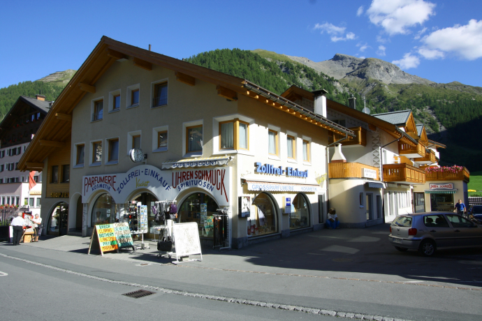
The route starts in the middle of the impressive Samnaun Mountains. Passing Paliner and Salaaser Kopf, the trail leads to Austria and reaches the beautiful Val Zuort over the Fimber Pass. Via the uniquely scenic Val Laver and Val Sinestra you reach Sent.
Beste Jahreszeit
Jan
Feb
Mär
Apr
Mai
Jun
Jul
Aug
Sep
Okt
Nov
Dez
Start
Samnaun
Ziel
Sent
Koordinaten
46.945767243053, 10.362766433432
Details
Beschreibung
The route begins in the middle of the impressive Samnaun mountains. The stage starts with 800 metres of ascent at the Zeblasjoch and from here all along the border ridge over the Greitspitz, the highest point in the Silvretta Arena. Via Idalp and Paznauner Taja you reach the extensive Fimba Valley.
After a rest in the Heidelberger Hütte, the ascent to the Fimberpass follows and from there the long descent towards Hof Zuort. For the last time, there are 200 metres of altitude difference to overcome in Val Laver before the long descent to Sent, past the legendary Hotel Val Sinestra, begins.
Geheimtipp
In summer, the Val Sinestra mountain restaurant or the Bündnerstube in the large Kurhaus are open. There is a cosy mountain restaurant with a comfortable terrace or, in bad weather, a beautiful winter garden dating from 1903.
Sicherheitshinweis
The tour was assessed in favourable weather conditions, current weather conditions and weather forecasts must be imperatively observed before starting the tour. The descent into the Fimber Valley can be wet and slippery. The trail from the Fimber Pass into Val Zuort is also difficult in wet conditions and the bike may have to be carried.
Emergency call:
144 Emergency call, first aid
1414 Mountain rescue REGA
112 International emergency call
Consideration for hikers
The Graubünden mountain bike routes run for the most part on single trails that are also signposted as hiking trails. Hikers always have the right of way.
Ausrüstung
Helmet, gloves, good shoes, glasses, rain and sun protection, water bottle, repair kit, bandages
Wegbeschreibung
- Start mountain station Alp Trida
- Aerial cableway Samnaun-Alp
- Trida saddle
- Along the valley to the Heidelberger Hütte
- Fimberpass
- Descent towards Zuort
- Before Zuort detour into Val Laver
- Val Sinestra
- Sent
Anfahrt
Öffentliche Verkehrsmittel
- By Rhaetian Railway (from Chur, Landquart/Prättigau or from the Upper Engadine) hourly to Scuol-Tarasp station.
- Continue by PostBus via Martina to PostBus stop Samnaun Dorf, Pra Grond
Arrival information
- From the north: via Landquart - Klosters by car transport through the Vereina tunnel (Selfranga - Sagliains) or over the Flüela pass into the Lower Engadine on H27, from Vinadi turn left towards Samnaun
- From the east: via Landeck / Austria in direction Reschenpass on the B180, from Kajetansbrücke in direction Spiss - Samnaun on the L348
- From the south: via Reschenpass to Kajetansbrücke, there direction Spiss - Samnaun on the L348
Parken
- Free public parking Chasa Riva at the entrance of Samnaun village
- Free public parking Votlas at the Hotel Bündnerhof (leading zone L)
Verantwortlich für diesen Inhalt Tourism Engadin Scuol Samnaun Val Müstair AG.

Diese Webseite nutzt Technologie und Inhalte der Outdooractive Plattform.


