Alpine and very challenging: Samnaun - Scuol
Geschlossen
Schwer
30.7 km
6:35 h
1731 Hm
2301 Hm


3 Bilder anzeigen

From the Samnaun valley, the technically difficult, partly blocked trail runs through alpine scenery to Scuol. A very demanding route in terms of fitness and technique, for very experienced runners.
Beste Jahreszeit
Jan
Feb
Mär
Apr
Mai
Jun
Jul
Aug
Sep
Okt
Nov
Dez
Start
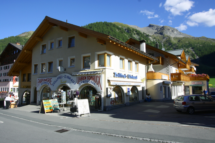
Samnaun village
Ziel
Motta Naluns mountain station (Scuol)
Koordinaten
46.942854, 10.357844
Details
Beschreibung
A trail running tour without exit options for very experienced runners. From the alpine Samnaun valley, the route climbs steeply up into blocked terrain with panoramic sections. Varied trail passages far above the tree line quickly make you forget your efforts. The scenic highlights also include the Davo Lais lakes, where you can take a break. At the end of the tour, you can take the cable car for a relaxing ride down to Scuol or run the varied Clozza Trail.
Geheimtipp
- If the strength is still sufficient, it is worth descending through the Clozza Gorge to Scuol at the Motta Naluns mountain station.
- In Scuol, the Bogn Engiadina Scuol mineral bath invites you to relax.
Sicherheitshinweis
If you still have enough energy left, the descent through the Clozza gorge to Scuol at the Motta Naluns mountain station is worthwhile.In Scuol, the Bogn Engiadina Scuol mineral baths invite you to relax.
Ausrüstung
Trail running shoes are an advantage. Possibly also trail running poles.
Wegbeschreibung
The tour starts at the Schmuggleralm, at the end of the village of Samnaun. The first 7 kilometres to the Zeblasjoch present no technical difficulties. We follow the alpine road and cover the first 700 metres in altitude.Shortly after the Zeblasjoch, we take the path on the left through the impressive Val Gronda to Fuorcla Val Gronda. We continue slightly downhill to the Heidelberger Hütte. This is the last opportunity to shorten the tour (Fimberpass - Val Sinestra). At the Heidelberger Hütte we follow the hiking trail, which leads southwards into the valley over stepped pastureland strewn with many boulders towards Fuorcla Davo Dieu / Davo Lais. At a small lake near Foppa Trida (P.2548), path tracks turn south-eastwards. The terrain becomes increasingly rough and steep and we have to adjust our pace accordingly. After 1.5km and a further 300 metres in altitude, we reach Fuorcla Davo Lais. Now follows the steep descent over very rough terrain to the Davo Lais lakes, a good place for a well-deserved break. We follow the path, which becomes a little easier again, along the slope to the south. At P.2605, the last steep ascent through scree to Fuorcla Champatsch begins. From here we enjoy the last view of Val Laver. A stony path leads us downhill to the valley station of the ski lift and on across alpine meadows to the Motta Naluns mountain station.
Those who want to can tackle the descent via the Clozza gorge to Scuol (5km - 900 metres). Otherwise we enjoy a cool drink on the terrace of the mountain restaurant and take the cable car back to Scuol.
Caution: technically difficult, alpine, blocked terrain, for very experienced runners. Very demanding route in terms of fitness and technique, no possibility to get out! Slightly easier to run in the other direction (Motta Naluns - Samnaun).
Anfahrt
Öffentliche Verkehrsmittel
Scuol-Tarasp railway station with the Rhaetian RailwayThen by post bus to Samnaun
Arrival information
- From the north: via Landquart - Klosters by car transport through the Vereina Tunnel (Selfranga - Sagliains) or over the Flüela Pass into the Lower Engadine on H27, turn left at Vinadi towards SamnaunFrom
- the east: via Landeck / Austria in the direction of Reschenpass on the B180, from Kajetansbrücke in the direction of Spiss - Samnaun on the L348
- From the south: via Reschenpass to Kajetansbrücke, then towards Spiss - Samnaun on the L348
Parken
Free parking at the Samnaun-Compatsch adventure pool
Verantwortlich für diesen Inhalt Tourism Engadin Scuol Samnaun Val Müstair AG.
Dieser Inhalt wurde automatisiert übersetzt.

Diese Webseite nutzt Technologie und Inhalte der Outdooractive Plattform.


