Gipslöcher
Mittel
12.8 km
5:15 h
349 Hm
1028 Hm


9 Bilder anzeigen

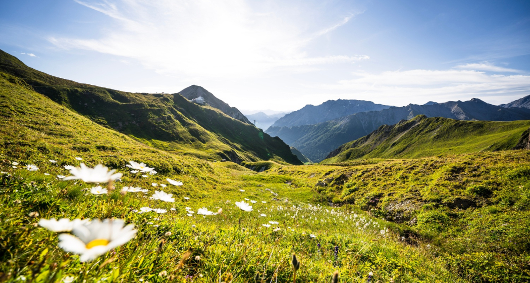
Panoramic hike to the Gipslöcher.
Beste Jahreszeit
Jan
Feb
Mär
Apr
Mai
Jun
Jul
Aug
Sep
Okt
Nov
Dez
Start
PostBus stop, Samnaun-Ravaisch, mountain railroads
Ziel
PostBus stop Samnaun-Dorf, Post
Koordinaten
46.97061, 10.367229
Details
Beschreibung
From the mountain station, the first part of the trail is a comfortable walk that takes you toward Hüttenboden. With a little luck, you will find edelweiss right next to the path. From Hüttenboden the path ascends slightly via Salaaser Eck to Ravaischer Salaas, where most of the Gipslöcher are located. Gipslöcher are impressive sinkholes in the gypsum rock. At Bergli a small detour can be made to the head of Salaaser, there the view opens up over the entire Silvretta Arena and the Paznaun mountain panorama. Toward the south you can observe the small Sulnerferner on the left below Piz Rot. Traversing the Zeblas pastures you will reach the demanding descent via the road to Samnaun. On the way a detour to the waterfalls is possible. Since the Sulnerferner has withdrawn, the waterfalls often carry little water.
Sicherheitshinweis
The tour has been evaluated under favorable weather conditions. Current weather conditions and weather forecasts must be taken into account before the tour starts. This hike requires elementary alpine experience, orientation skills. Trekking shoes are recommended.
Emergency call:
144 Emergency call, first aid
1414 Mountain rescue REGA
112 International emergency call
Ausrüstung
Good shoes, rain and sun protection, water bottle, bandages.
Wegbeschreibung
- Starting point of the hike is the Alp Trida Sattel at the top station of the double-piece cable car
- Follow the signs to Hüttenboden
- Further via Salaaser Eck to the Ravaischer Salaas
- The plaster holes are located here
- Via the Zeblas meadows down into Val Masauna
- Further to Samnaun village
Anfahrt
Öffentliche Verkehrsmittel
- With the Rhaetian Railway (from Chur, Landquart/Prättigau or from the Upper Engadine) every hour to Scuol-Tarasp station
- Hourly connections with the PostBus, line 921 to Samnaun-Ravaisch, mountain railroads
Arrival information
- From north: via Landquart - Klosters by car transport through the Vereina tunnel (Selfranga - From north: via Landquart - Klosters by car transport through the Vereina tunnel (Selfranga - Sagliains). Then take the H27 in the direction via Scuol and Martina to Vinadi. At the junction Vinadi to Samnaun (about 1 hour from Vereina Südportal)
- From the east: via the Inn valley road B180 via Landeck to Pfunds, junction Kajetansbrücke and via Spiss to Samnaun.
- From the south: via Reschenpass (Nauders) on B180 to Pfunds, junction Kajetansbrücke and via Spiss to Samnaun.
Parken
Parking spaces at the valley station of the double-decker cable car, Samnaun Ravaisch
Verantwortlich für diesen Inhalt Tourism Engadin Scuol Samnaun Val Müstair AG.

Diese Webseite nutzt Technologie und Inhalte der Outdooractive Plattform.

